Resources

Site Analysis

Aerial and on ground photography creates reference points.

Layers

Selected layers enhance the experience of a GIS map.  Through this exploration, we can see where water can be utilized to grow our urban forest.

Sources

Open source data makes layering and analysis possible. Sources highlighted can help create a Northern New Mexico discovery portal.

Find Out What We’re All About

About the Project

About the Team

Latest News

Collaboration is Key!

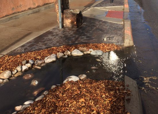
This website is created to highlight resources available for GIS data related to stormwater and trees in the semi-arid high desert region […]

FIND AVAILABLE SOURCES FOR GIS RESEARCH THROUGH THE ANNOTATED BIBLIOGRAPHY.