ABOUT THE PROJECT
Geographic Information Systems and Science utilizes layers of data to analyse the world around us. Many of these layers are open source and available for free. This project was developed in partial completion of Oregon State University graduate course GIS-560 Introduction to Geographic Information Science.
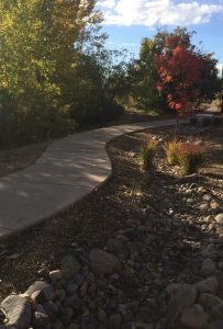
It brings together resources to help understand the value of stormwater for trees growing in a semi-arid environment. From contour lines, soil types, and even tree data from the Santa Fe Public Spaces Tree Inventory, layers build upon each other to understand not only what grows well where, but also...